
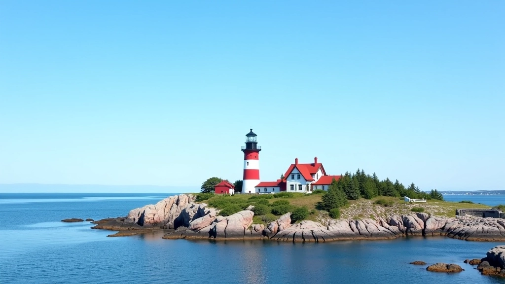
Peggy's Cove & South Shore Route
A gentle coastal drive through Nova Scotia's most photographed lighthouse and charming fishing villages along the South Shore.
Read MoreA spectacular 300-kilometer loop around Cape Breton Island with dramatic cliffs, charming villages, and ocean views at every turn.

Editorial Team
Written by the Coastal Routes editorial team, focused on practical, honest guidance for senior road trippers exploring Nova Scotia and New Brunswick.
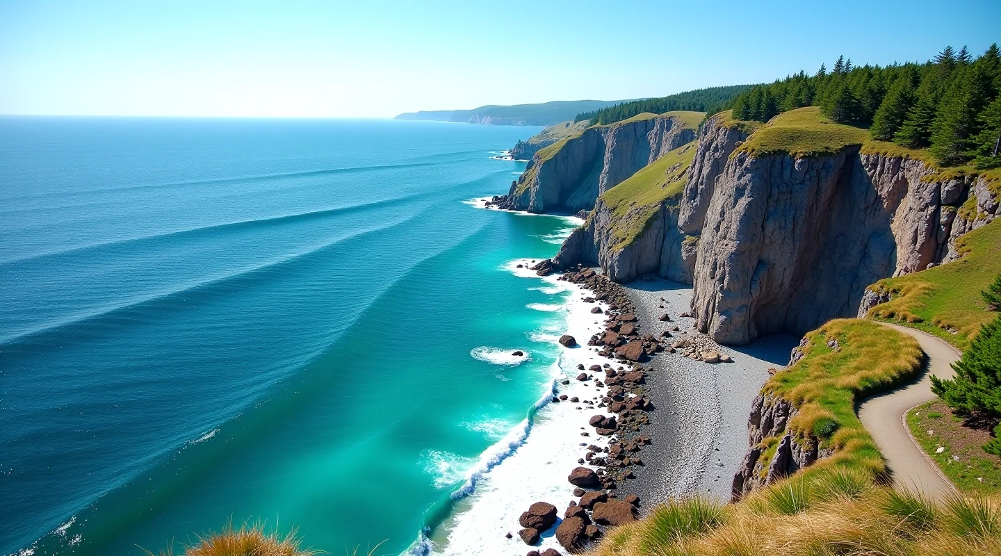
The Cabot Trail isn't just a road. It's a 300-kilometer journey that wraps around Cape Breton Island with views that shift from windswept highlands to sheltered fishing villages to dramatic cliffsides that'll take your breath away. You'll drive past the Highlands, through places where the mountains practically drop into the sea.
We're talking about a route that's manageable for relaxed travelers — it's not a white-knuckle mountain pass, though some sections do wind through terrain that demands your attention. Most people take 4 to 5 days to do it properly, with stops for meals, walks, and just sitting to watch the water. That's the pace that works here.

The Cabot Trail starts (or ends — it's a loop) in either Baddeck or Port Hastings, both on Cape Breton Island. Most people drive from Halifax, which is about 4 hours to reach the trail's starting point. Don't rush it. Stop in places like Bras d'Or along the way if you've got time.
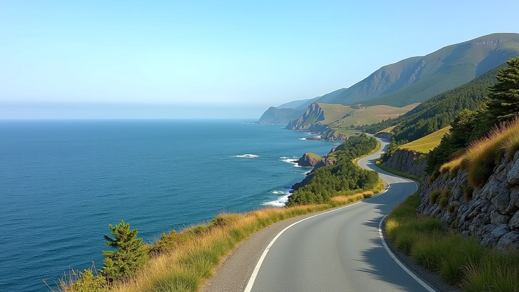
The road itself is well-maintained two-lane highway. You'll find stretches that climb steeply — particularly around the Highlands sections — with curves that require steady hands and focused attention. But there's nothing technical or unreasonable about it. Pull-outs are frequent. Use them. The views don't go anywhere.
Petrol stations are spaced out, so fill up when you see them. Cell service is spotty in some areas. That's part of the appeal. You're disconnected enough to actually notice where you are.
The northern highlands section — between Ingonish and Cape Smokey — is where you'll find the most dramatic elevation changes. The road climbs to about 400 meters at its highest points, offering panoramic views of the Atlantic on both sides in some spots. It's spectacular. Take it slowly and use the scenic pull-outs. There's no point rushing past scenery this good.
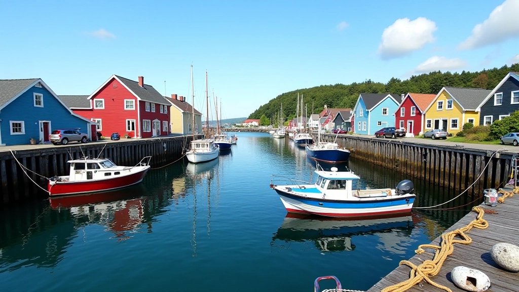
The western side, running along the Gulf of Saint Lawrence, feels different. Calmer somehow. You'll pass through fishing villages like Cheticamp where French is still the first language. The pace here is gentler, the road flatter. It's a nice contrast to the highlands section.
Plan for at least one full day in the highlands section. Two days is better. Stop at Skyline Trail, visit Ingonish Beach, walk around some of the villages. The 300 kilometers takes 5-6 hours of actual driving time, but you're not doing this in one day. That'd defeat the whole purpose.
This guide is informational and based on general travel conditions. Road conditions, weather, and facility availability can change seasonally. Always check current weather forecasts and road conditions before traveling. Bring proper maps or GPS navigation. If you have mobility concerns or health conditions, consult with your doctor before undertaking extended driving or hiking. Travel at your own pace and comfort level.
Late September through mid-October offers autumn colors and fewer crowds. Summer (July-August) is busiest but weather is most predictable. Avoid late November through March due to weather and seasonal closures on some highland roads.
Baddeck, Ingonish, and Cheticamp have good accommodation options. Book ahead in summer. Small inns and guesthouses are common — they're comfortable and give you local insights. Budget 100-180 CAD per night for decent lodging.
Skyline Trail (moderate 7-kilometer hike with views), Cheticamp's Le Buttereau Gallery, Ingonish Beach for walking, Keltic Lodge for views and meals. Spend time in villages rather than rushing through them.
Layers are essential — weather changes quickly here. Bring a windbreaker even in summer. Comfortable walking shoes for village exploration. Sunscreen, hat, and water. A good camera because you'll want to remember this drive.
Fill up in Baddeck, Ingonish, or Cheticamp. Don't let your tank drop below half-full. Restaurants are concentrated in towns. Bring snacks for the road. ATMs are available in main villages.
Roads are good but mountain sections have sharp curves and elevation changes. Speed limits average 80-90 km/h on the main loop. Drive during daylight. There's no rush — this drive is about the experience, not the destination.
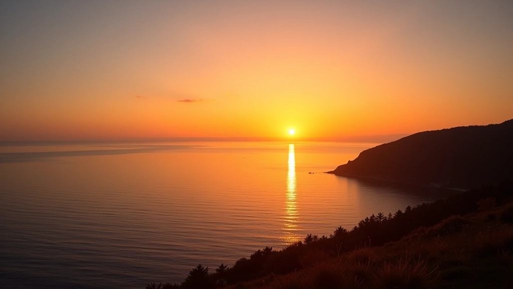
This drive works for senior travelers because it doesn't demand anything extreme from you. There's no white-water rafting, no challenging hikes (unless you want them), no forced activities. You drive at your pace. You stop when something catches your eye. You sit in a village café and watch fishing boats come in. That's the whole point.
The views are genuinely world-class. Tourists come here specifically for the landscapes, and they're not exaggerating. The combination of mountains, ocean, and small communities that haven't been completely commercialized creates something authentic. You'll see why people return to Cape Breton year after year.
Five days on the Cabot Trail isn't rushing. It's exactly the right amount of time to actually absorb what you're seeing, to have conversations with locals, to sit on a rocky beach and listen to waves. It's travel the way it's meant to be — slow, deliberate, and genuinely memorable.
Discover other scenic drives perfect for senior travelers
A gentle coastal drive through Nova Scotia's most photographed lighthouse and charming fishing villages along the South Shore.
Read More
Discover the Bay of Fundy's highest tides and Acadian cultural heritage. This route combines natural wonders with rich regional history.
Read More
A relaxed journey around Prince Edward Island featuring red sand beaches, pastoral farmland, and welcoming coastal communities.
Read More